After another good nights sleep we packed up , loaded up and headed back toward Derby . Because we'd done all the attractions on the way east , it was just a drive back to the west , and take in the view as we went . There were some places I wanted to fly over , but we'll get to that .
This is the norm for up this part of the world - orange & red Pindan dust , it's fine and floats in the air for a while and finds it's way into places you wouldn't think possible .
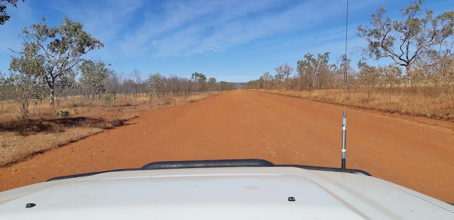
There were many interesting views along the way .

Donkey Creek turned into a lunch spot again , it had a reasonable amount of shade and was off the road a bit , so no dust .
We eventually got back to Napier Range - all limestone like Windjana Gorge , and was one spot I wanted to fly over to have a look on top . The rock formation is Queen Victoria Rock , and Napier Downs Station is only about 500m up to the right .
Well here it is from above , certainly a different look from above .

This is looking back along the Gibb River Rd to the east .

Here's another from above .

A bit lower looking along the ridge .

We could have made it back to the van today , but there was another place we wanted to look at . It involved going about 5klms along this track to a tree line in the distance - which was another surprise . The track was very uneven and took us a while to get in - the wet season had taken it's toll - people had been here when it was wet and chewed it up a bit - it is a flood plain as well , so clay below .

The track entered the treed area and we followed the track around to the left , finding another area of volcanic rock . After checking it out , we drove across it to the other side of the river , through some sand , back onto the rock and through some more sand , parking in some shade .
This is the upper pool and the water level is about 3m higher than the next pools below .
Then we found this and the decision was made - this is where we will spend our last night on the Gibb!!
The drone went up for a fly to show us the overview - upper pool separated by the volcanic rock shelf to the lower pools .

And our campsite for the night - anchoring the tent was difficult because we were sitting on some sand on top of the rock shelf , so tent pegs were replaced by rocks and water containers .
The sun went down and created some interesting views from above , the camera battery was flat , the drone batteries & remote were getting very low , we kept taking photos while we could .

This photo I like because the sun was creating long shadows from all the Boabs , yes Boabs , every whitish trunk is a Boab tree , there were thousands of them .

What a way to finish our trip , a perfect location to camp and we had it all to ourselves - fish & birds not included of course . Here's just a few of the Boabs on the way out .
I hope you've enjoyed our journey half way along the Gibb River Rd as much as we have . We covered 1016 klms overall and 9 nights & 10 days away , seeing some amazing Kimberley scenery.


No comments:
Post a Comment