
Leaving Karratha , we only go 60klms down the road to Devil Creek Gas Plant and turn off the highway . We drove out past the plant for 11klms to Gnoorea Point or 40 Mile Beach , where we'll stay for 3 nights - it's now out of peak season , so you can stay for 3 nights free - mind you there are quite a few out there staying for that bit longer than 3 days . This is looking at the gas plant from about 9klms away .

we drove in and found a spot to park in , about 40m from the water .

There's a boat ramp there , so it can be a popular spot - it's a beach launch and is quite easy at high tide , low tide you wouldn't bother , as you can walk out about 500m and not have water above your knee - there's photo down the page a bit .

The coast here does have a lot of limestone shelving and beach rock . The higher tides will go over these rocks .

These rock pools are not far from the our site , and appears to be volcanic rock .

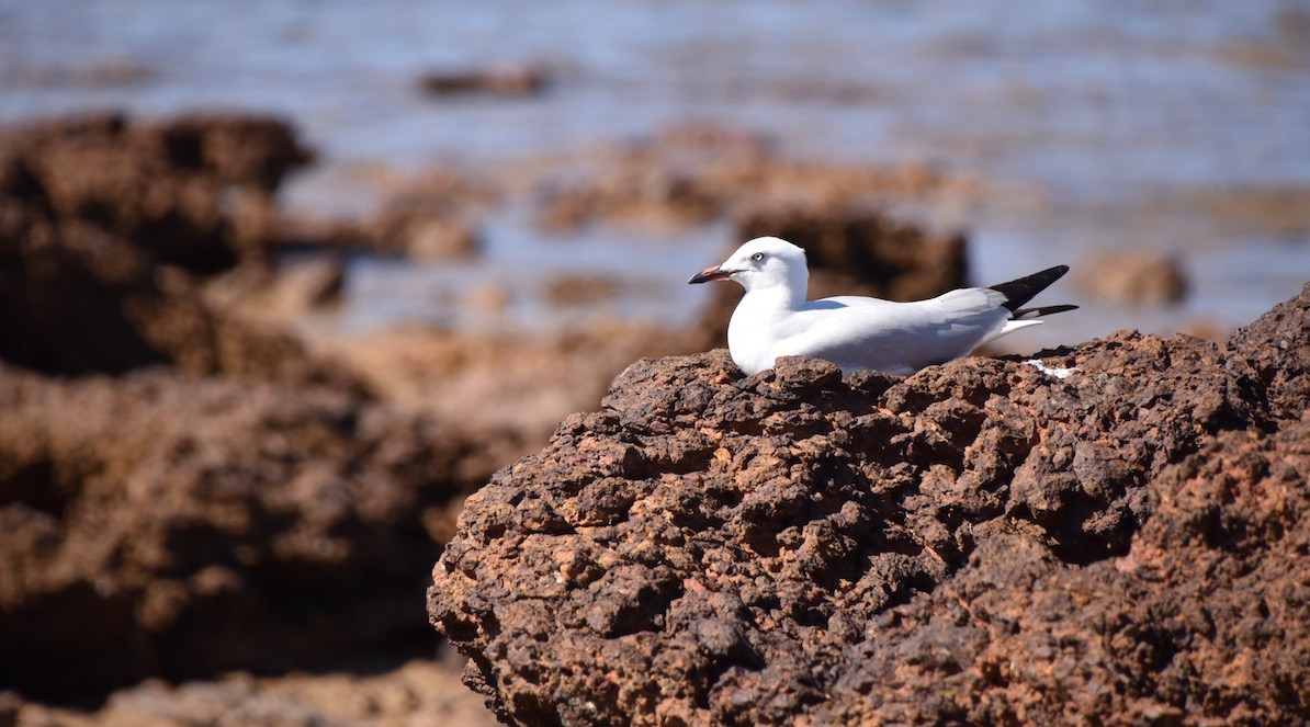
Old mate was having a rest .
This is the bay at low tide - there's also a gas pipeline that comes ashore here , straight up the side of the boat ramp , and goes to the gas plant .

A Brahminy Kite has a rest on a pole beside the picnic shelter .

There's a sign , or rather 2 signs back to back on 2 poles , in between those 2 signs a heap of Zebra Finches have made a few nests , here's one of the males .

Along the beach? - it's a beach at low tide - there's all this limestone rock .

There are some wildflowers about , but not too many , here's some of them .


Down the western end there is access to mangroves , where we found Bill & Beryl's memorial . From what's there we reckon they were mud crabbers and used this area a lot , given there were lot's of crab shells and their old cooker .
Down near there was an Osprey nest , Mum or Dad was having a rest from the 2 young in the nest and sat still for a photo .

Here's their nest on top of a leaning metal pipe , if you zoom in you can see the 2 heads .

The mangroves down their end of the camp area have been here for a while .


Now for some aerial shots , the above photos were taken right at the top of this photo after the gap in the mangroves , there's a whole estuary system down there . Our van is the one on the left .

This shows the camping area available .

We drove up the eastern end as well to Pelican Point , managing to have a swim here at a nicer sandy beach . We had a turtle swim past us , providing a bit of excitement .

This is Pelican Point and another estuary system that's also popular for the Karratha locals who come fishing & crabbing .

This is looking back toward the camping area , which is at the point - top centre of photo .

The mangroves are a brilliant green , contrasting the red & brown and dead grass .

Another of the camp area with the green of the mangroves standing out .

This is the western end and all the mangroves from all the various inlets letting the tidal water in & out .

This is looking back toward the camp site again .

The point in the distance is Cape Preston , which is an export point for Magnetite - the mine and export facilities is owned by Sino - a Chinese company- and they run their own ships to transport it as well .


Time has been spent walking , swimming and investigating the area , an interesting side is the gas plant - they provide 2 water taps so that campers can get water when they are here - what a great thing to do !
Here's a map link :- https://www.google.com/maps/d/edit?mid=15GqjJ_r4KWhAqtozXmH4qPflQB9zZREz&usp=sharing
No comments:
Post a Comment