
When we came back , we rode around the rest of the park , finding someone we hadn't seen for about 14 years - he still looks the same , and remembered me straight away , it was a pleasure catching up with Alisdair . He still fly's his hang glider and a mini microlight trike , his motor bike and bicycle - they are all with him in his van . It was quite enjoyable chatting with him , and I offered to drive their car back down from Mt Elliot if they decided to fly today - as it turned out they decided not to fly as it was too windy - the competition pilots also missed out again !!
With all the years we've been coming here , we've never been up to the top of Mt Mittamatite . Well today was the day , we headed off about 11am & drove through town and toward Tintaldra , turning off onto the gravel road that leads to the top . It's a winding steep road , till you get to the top where it levels out . A road took off to the left to Embery's Lookout , so we took it . The road had lot's of expose rocks , some wet boggy patches , and there hadn't been too many vehicles up there for a while. Finding a picnic table and a parking area , the trees & bush surrounding us was amazing - beautiful trees !! We stopped and headed up a track that looked like it went somewhere .

A bit of rock hopping and we'd found a round plaque on a rock column with the distances and heights of nearby and distant mountains and towns . The view back over to Mt Elliot and the main range behind is amazing .

This is another view of Corryong township .

All the competition pilots are already set up and waiting to go over on Mt Elliot , we are 11klms away across the valley .

We've found quite a few different flowers as well , here's a few of them .


Back out to the main road and further up the road to where the towers are - there's something to do with the radar system for Air Services Australia , and you're not allowed in , even though the gates were wide open !! There's also a forestry fire watch tower here as well . We looked down a few tracks for the picnic area , but couldn't find anything , so stopped in a large flat area and had some lunch there .
The gum trees up here have huge leaves , here's a photo with our car keys to give them some scale !!

After lunch we headed back down , the views were pretty good looking back down the valley towards the Murray River and the mountains to the north toward Tumbarumba .

Back toward Corryong is Farran's Lookout , it looks out over the Murray River and toward the main range behind Khancoban .

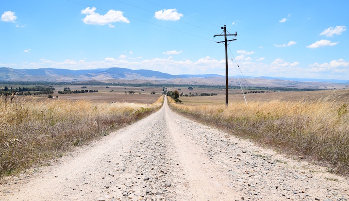
We drove around to Towong ( a free camp site beside the Murray ) , not as busy as normal - probably due to the bridge works that are starting very soon . From there we went around the gravel road to the south , and around to the northern end of Mt Elliot , before heading back to the park .
It was around 34 degrees , so we went straight to the creek and got in , not quite as cool as yesterday, and the level had dropped about 200mm . There was still a good flow of water , it was nice and refreshing . After about 15 mins of floating down the river , walking back up and floating down again , and again , we both started to get cold , so we got out - time for a beer , cheese & bickies - another tough day !!
Here's a map link : - https://drive.google.com/open?id=1A68UABgJygeprTEu-98Tf3cPrhY&usp=sharing
No comments:
Post a Comment