The starting point

The starting point

Friday 19 August 2022

14/8/22 Mataranka


   Heading out of Gorrie airfield , north again , today we headed to Mataranka and decided we'd stay for 3 days at Bitter Springs Caravan Park . We arrived at 10:30 am and they let us in , so we set up and put the washing on . Lunch done , we went for a walk down to the springs for a float down the river . Frangipanni are out in flower , this one at the front of our site . 


    The walk down to the springs goes past this section of Roper Creek - how cool is that , you can camp beside this in the unpowered section .


     Palm trees & spiral pandanus grow in profusion here , giving a tropical feel .


     The springs are still as beautiful as ever , it's also Roper Creek and flowing at about 300litres per minute , and at 33 degrees - it's like getting into a warm bath .


     These next photo's are from the next morning - we went down early and there were very few people there - making it quite pleasant .


    This is the exit from the river .


     The water is crystal clear and beautiful .


    This tree in the park is out in flower , not sure what it is ?


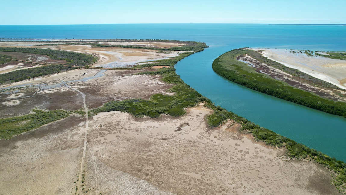
    Next day we headed out to Mataranka NP and Roper River for a look . This section is easily accessible from a short walk - 300m - you still cant swim here due to the snapping handbags - they really are a pest .


  There are the odd wildflowers out , this being one of them .


   This is back at the caravan park , just a further 300m up the river . It shows how thick and dense the vegetation is here around the water .


    Our 3 days have been great , floating down the river each day - getting out & cooling down before getting back in and doing it all again . If you go , avoid the afternoons , this is when it's busiest and not as pleasant . Here's a map link :- https://www.google.com/maps/d/edit?mid=16DT2_04nMZWXRwIuu3g_7BmBl_PLwcY&usp=sharing


Tuesday 16 August 2022

13/8/22 To Gorrie Airfield


    More single lane highway to get back to the Stuart Hwy , but there were more 2 lane sections in amongst it . We had a lot of traffic going toward Borroloola , which was a pain . You just get up to speed and you have to slow down and get half way off the road while you pass , then you carry on again , etc , etc .


    Back to the Stuart Hwy - a smooth 2 lane highway - it was like all our birthdays cam at once ! 


   Heading north , we found another free camp for the night , this one with a difference ! This is Gorrie Air Strip , it was used during WW11 and has about 1.5klms of airstrip to find a spot to camp . It's no longer used as a runway , but a great camp !


    It's an airfield so needs some aerial shots . It's only fitting to go for a fly . The strip is basically a strip of red in a green setting .


    Plenty of dead trees beside the runway made for interesting photos .


   Here's a map link :- https://www.google.com/maps/d/edit?mid=1rXNiwWxBBvvuFwYODnRi-J2_oxXuGqE&usp=sharing


12/8/22 Carpentaria Hwy


   Leaving Borroloola today , we are quietly pleased with what we've seen & done here . The road back out to Cape Crawford was as expected , but then we got onto a new section of the Carpentaria Hwy - hopefully it might improve a little ???  This is a section of the ridge , it caught my eye as we drove , so I took a photo .


    There were many sections where Kapok Trees were flowering - seems that they grow in areas with a lot of limestone .


    With the amount of road kill about , there's an increased amount of scavengers ready to get a feed . This wedge tailed eagle decided to exit stage left  - might have helped that we were blowing the horn as we approached it - beautiful birds !


    Stopping for lunch , we pulled off the road just past a truck parking bay - that's it in the photo with the bins on the left . You can see the single lane bitumen , that's why we pulled right of the road .


    Here's a look at the surrounding area .


   Plenty of straight roads out here .


   Back on the road after lunch , we found a camp site just past this impressive gateway for Tanumbirini Station - what a use for old windmills !!


    Across the road is a quarry , there's a couple of waterholes in the quarry , both are dry , very dry ! It seems that this part of the country hasn't had the rain that the east coast has .


    Around the quarry are many different trees , these green flowering tea trees were plentiful .


    As was this shrub that was a little passed it's best - it would have looked stunning a few days ago .


   The old flower heads look as good as the flowers .


    This is what the flowers look like when fresh .


   Time for an aerial view of our camp looking west .


     And this is looking east .


    As i was bringing the drone down , a flock of galahs decided they would chase the drone , or play with it , I managed to get a photo of these 2 that got reasonably close !!


   Sunset wasn't too bad either .


  Here's map link :- https://www.google.com/maps/d/edit?mid=1U4aVq0xaNg3mHud7HCrOaTPwJDFiKk4&usp=sharing


10/8/22 King Ash Bay , Bing Bong & Mule Creek


     Today from Borroloola we head out to a very popular place - King Ash Bay - it's on the McArthur River . It's popular for it's fishing , in fact so popular that it's a fishing club . The club leases the land from the NT Government and has a full caravan park that you can stay at , it has areas for life members of the club , reserved sections for different fishing clubs eg Alice Springs Fishing Club , Tennant Creek Fishing Club etc .  King Ash Bay is at the end of a 20klm dirt road , we drove in and had a look . The boat ramp was nuts , there were at least 40 cars & boat trailers parked there , a couple of small house boats were anchored in the river , and the caravan park seemed to be full . In the photo , the caravan park is at the end of the road and also goes around to the left of photo . An aerial view was called for .

  
   This is looking in the other direction , you can see the dark area on the right , it has recently been burnt off .


    The river has high banks on the edges , small cliffs really , gradually eroding away .


   And a closer look .


    From here we headed out to the port , now the name of the port is Bing Bong , we don't know why ? This is it , they deliver the lead & zinc oxide from the mine out to here in road trains . This is the excellent view from the viewing platform .


    Fortunately , we drove around the plant and found a track to the beach where you can see what they do . The oxide is loaded into this barge / loading boat , which then takes it out to the waiting ships and offloads.  They use this system because the gulf is very shallow here .


    A drive along the small beach took us up to a sand spit where there are mangroves and this tree complete with nest - by the look of it , it's probably an Osprey nest .


    It wouldn't be complete without some aerial views , to give you a better idea what this coast line in The Gulf of Carpentaria looks like from above . The island at the top left is West Pellew Island , part of the Pellew Island Group . The islands are still inhabited by the local aborigines and some islands have restricted access .


    This is the beach we drove along - you can see the port near the top of the photo .


   That's the end of the sand spit we got to .


    Apart from the tyre track marks in the sand , all the other tracks are made by animals - presumably cattle .


   Back to a very corrugated road for a couple of kilometres and we were at Mule Creek boat ramp , where we had lunch .


    Now for some aerial shots that I'm very impressed with - Mule Creek .


   Just love how the photos have come up - spectacular country we live in !!


    All the colours & patterns get revealed from above .


   Another view of the Pellew Islands .


   I know there's crocs about , but we dipped our toes in anyway .


   And with that , we headed back to Borroloola . here's a map link :- https://www.google.com/maps/d/edit?mid=1JgrFAUef4d5Hfj1JwFXkqGzVqpcWSlo&usp=sharing